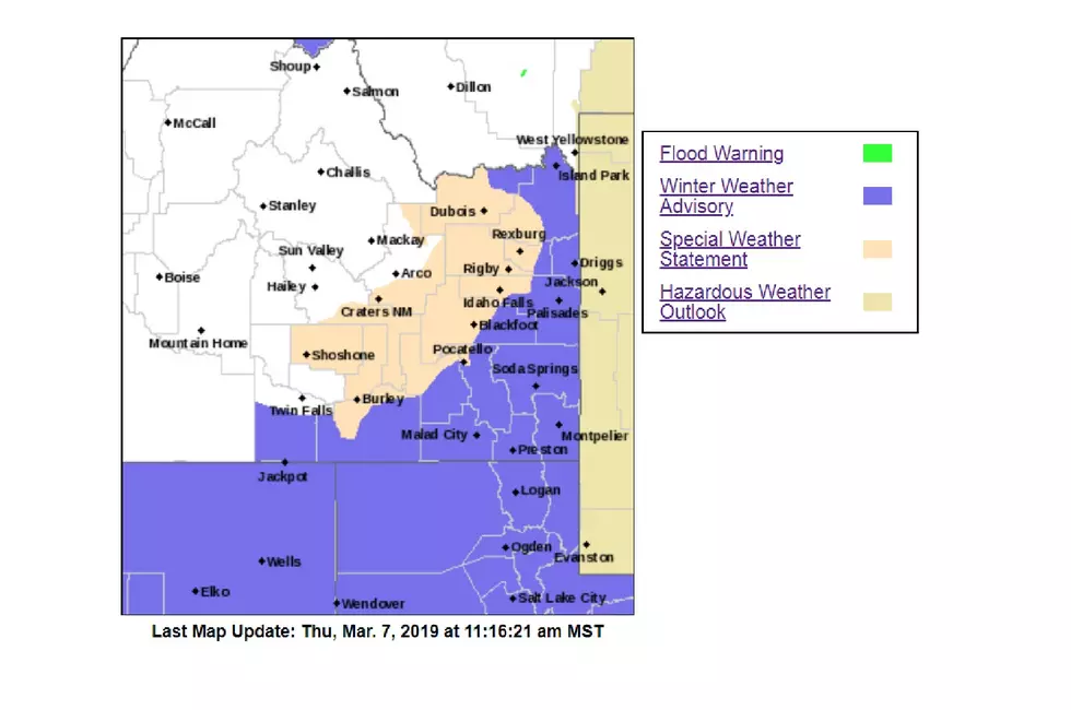
Winter Weather Warning for South Twin Falls, Cassia Counties
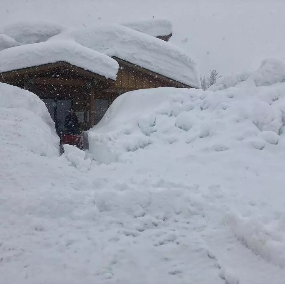
TWIN FALLS, Idaho (KLIX)-With about two weeks until spring more winter weather is expected to hit southern Idaho by Friday. The U.S. National Weather Service in Boise has issued a Winter Weather Advisory for the southern half of Twin Falls County including south Cassia County and northeastern Nevada's Elko County.
According to NWS forecasts, a slow-moving cold front is headed into the area along the Idaho and Nevada boarder pushing snow showers ahead of it this evening into Friday morning.
Snow is expected to impact the Highway 93 corridor south in Twin Falls County into Elko County as the storm continues eastward Friday. Roadways are expected to be slippery with anywhere from one to three inches of snow, some areas could see up to five inches of snow.
The Advisory is in effect from 11 p.m. Thursday to 11 a.m. Friday. Meanwhile the NWS Pocatello has issued a Special Weather Statement warning drivers of snowy and breezy conditions expected Friday for the Mini-Cassia area extending to eastern Idaho along the Interstate-15 corridor.
Snowfall could be briefly heavy Friday morning along the
Interstate 15 corridor. In addition, gusty westerly winds will
add to the potential for difficult driving conditions.
The areas of Burley, American Falls, Pocatello and Idaho Falls could see one to three inches of snow. Most other areas of southern Idaho may see light snowfall. Motorists can call 511 for the latest road conditions or go to 511.idaho.gov.
More From Kool 96.5