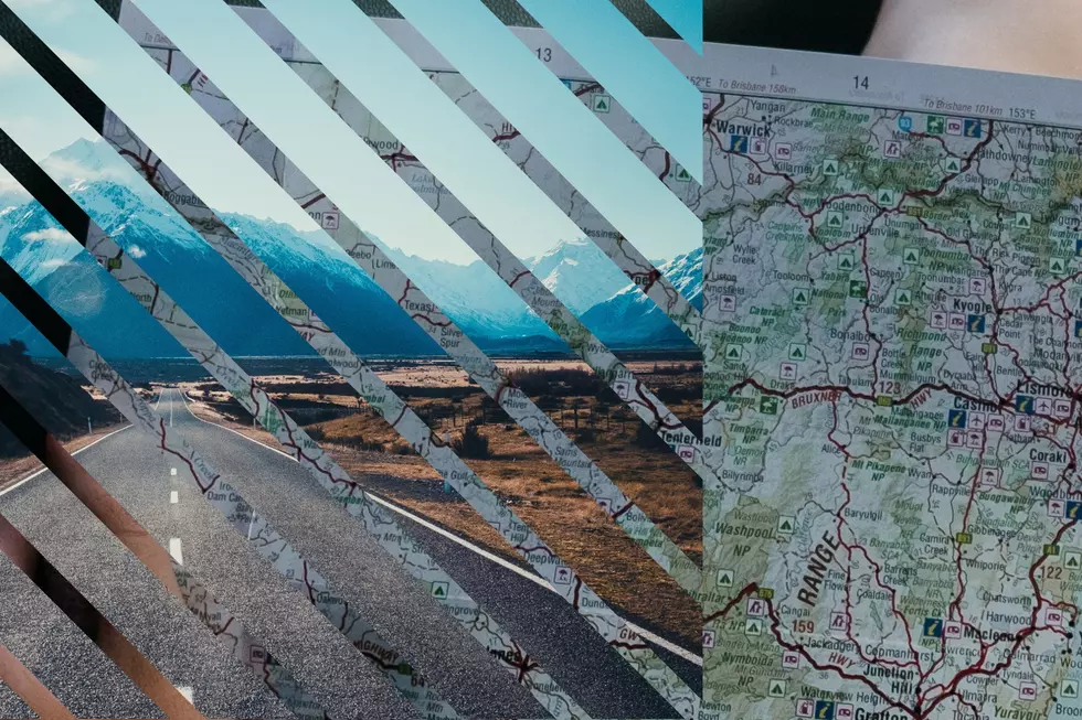

Epic Idaho Road Trip Takes You Around The Entire State
I was thinking that there are so many places in Idaho I have never explores, so I found a few places on the map to see how long this epic Idaho road trip would take where you would essentially touch every corner of Idaho and a lot of central Idaho.
I am sure there is a much less complicated route than the one I tried to put together on Google Maps, but this is what I have. Starting in Twin Falls if you try to reach the top of the state without leaving the state, you end up in a place called Good Grief, Idaho. That will take you almost 12 hours if you drive straight through but that is basically the Canadian Border. Then to head back down south you would end up in Coeur d'Alene where you will turn to go through Kellogg, Wallace and will be forced to enter Montana. I tried to find a way down that was still in Idaho that could go east but was unable to do so.
Then go through Missoula and reenter Idaho through Gibbonsville into Salmon. Make your way east to Island park, through Idaho Falls, down to Sant Charles and hit that border. Coming back, go through Pocatello, Blackfoot and go through the Salmon-Challis National Forest to make it to Stanley then back down to Twin Falls. The trip will take you 44 hours in total in a vehicle if you so choose to take the ultimate, longest trip through most of Idaho.
LET'S GO: The most popular historic sites in America
7 Most Haunted Places In Southern Idaho
More From Kool 96.5