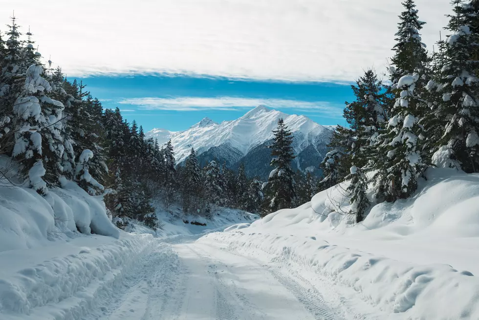
Another 6 Inches of Snow Expected in Twin Falls Before Thursday
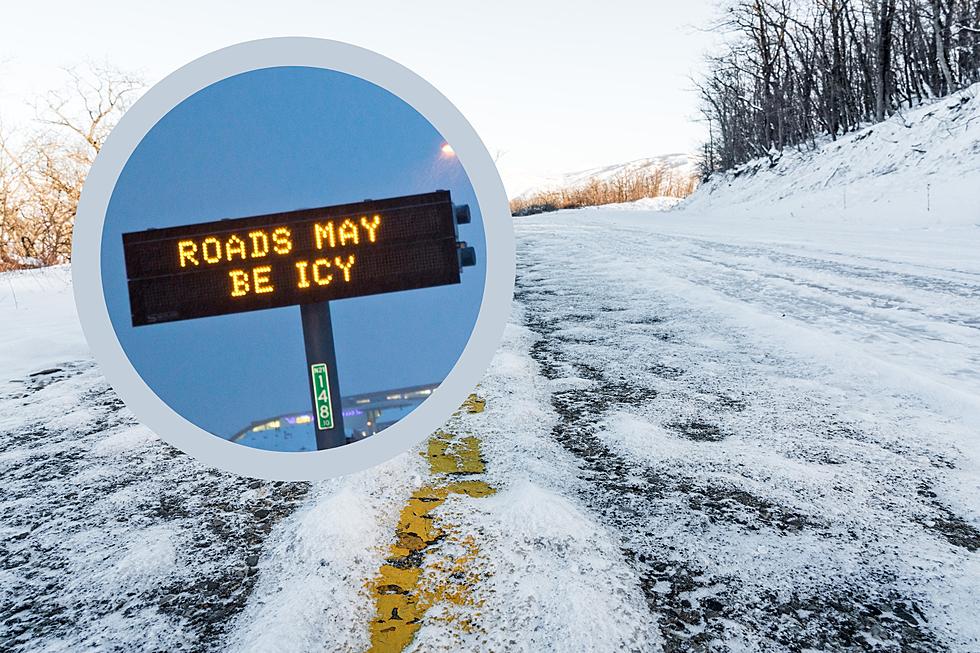
Roads around the Magic Valley aren’t completely cleared of snow from the blizzard over the weekend and round 2 is already on the way.
6 Inches of Snow Could be Headed to Twin Falls Before Thursday
After a slight reprieve from anything new, snow is expected to return to Southern Idaho Tuesday night and into Wednesday. A Winter Weather Advisory has been issued, and Wednesday morning up to 5 inches of snow is expected to fall with an additional dusting during the day. The advisory on the Weather Channel site says the weather will impact the Western Magic Valley and Southern Twin Falls County between midnight and 11 AM on Wednesday. The main issue with the storm will be slippery roads.

This is by no means the same as the storm in 2017 we call Snowmageddon or the Snowpocalypse, but some roads in Twin Falls seem just as impassable as they did during that epic storm. In 2017 massive amounts of snow fell in a short period of time which was followed by a temperature rise, rain, and substantial flooding.
The good news with our recent and upcoming storms is that the temperatures are going to remain below freezing at night and in the mid to upper 30s for the rest of the week. The bad news is that this means the roads will remain dangerous in many areas of the Magic Valley. Even if no new snow falls, these road conditions could cause school and business closures this week.
RELATED STORY: Remembering Snowmageddon in Twin Falls
Utah and Washington Experience Weird New COVID Symptoms
Gallery Credit: Credit: Mateo, 103.5 KISS FM
Idaho Winter Bucket List
Gallery Credit: Shannon Buccola
More From Kool 96.5