
Southern Idaho Weather: More High Winds, Rain, and Snow Expected
Parts of Southern Idaho will be hit again with high winds, rain, and snow over the next few days.
The National Weather Service has issued alerts in the Boise, Sun Valley, and Pocatello areas. It looks like Twin Falls will be spared from the majority of the bad weather.
End of February Into March Weather Forecast for Southern Idaho
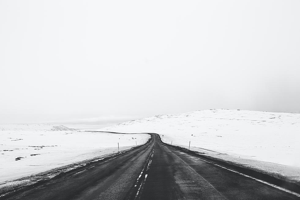
We just finished a round of snow and chilly days, with Wednesday giving us a literal ray of sunshine. But the bad weather is coming back this weekend to the majority of Southern Idaho. The National Weather Service calls it a 'complex storm system'.
First, the good news: Twin Falls County doesn’t have any weather alerts issued, and based on the forecast, most of the bad weather will miss them. Thursday and Friday will be cloudy with chances of snow each night and Saturday will bring a chance of rain and snow in the morning. Other than that, and a chance of 40-mile-per-hour wind gusts on Thursday, the storms and high winds go around the area.

Boise and Pocatello both have Wind Advisories. The Boise alert includes Portions of south central, southwest and west central Idaho, and northeast Oregon from 8 AM until 8 PM Thursday with gusts up to 55 miles per hour.
Pocatello and Idaho Falls have been issued an alert which includes the Upper Snake River Plain, Lower Snake River Plain, Challis, and Pahsimeroi Valleys. That includes Idaho Falls, Rexburg, St. Anthony, Pocatello, Blackfoot, American Falls, Shelley, Fort Hall, and Challis from 11 Am Thursday until 5 PM Friday with some gusts reaching 60 miles per hour.

Sun Valley and the following areas will be hit the hardest over the next few days while a Winter Storm Warning is in effect: Frank Church Wilderness, Sawtooth and Stanley Basin, Sun Valley Region, Big Lost Highlands, Copper Basin, and the Wood River Foothills. This includes Clayton, Stanley, Banner Summit, Ketchum, Sun Valley, Galena Summit, Copper Basin, Hailey, Bellevue, and Picabo.
The winter storm will bring heavy snow between 5 AM on Thursday morning and 5 PM on Saturday. The alert from the NWS states:
Total snow accumulations of 6 to 12 inches, for the south end of the Wood River Valley and surrounding terrain, 12 to 18 inches for the Stanley Basin and Copper Basins, and up to 3 feet at or above pass level. Winds gusting over 60 mph are likely at or above pass level, peaking Thursday afternoon through Friday morning.
RELATED STORY: Rare Massive Winter Storm Set to Hit Northern California
Many parts of the United States are experiencing dangerous weather conditions. Northern California is expected to get up to 12 feet of snow on the Sierra, Southern Cascades, and Coastal Ranges between Thursday and Sunday.
The 12 Seasons Of Idaho Weather
Gallery Credit: Credit N8
The Essential Written and Unwritten Idaho Winter Laws
Gallery Credit: Credit N8
More From Kool 96.5